Topography is the study of the Earth’s surface. It looks at mountains and valleys, as well as rivers and oceans. It even includes roads!
Today much of topography is focused on creating 3D representations of the Earth’s surface. The most common way to show this is using topographical maps.
Topographical Maps
You probably have looked at a map on a phone. It shows you where you are and might even give you directions to where you want to go. The map many of us look at on our phones is like a topographical map, but not quite the same.
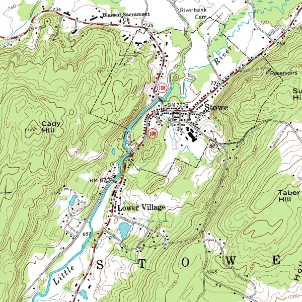
Topographical maps give depth to a map. They show how tall mountains are and how deep a lake is. More importantly, they show how the elevation changes between points. Elevation is the height something is above or below sea level.
To make topographical maps, scientists need to determine the elevation of the entire area that is going to be covered on the map.
To complete the map, topographers also record an object’s longitude and latitude. Longitude is an object’s location using east and west measurements. Latitude is an object’s location using north and south measurements.
History
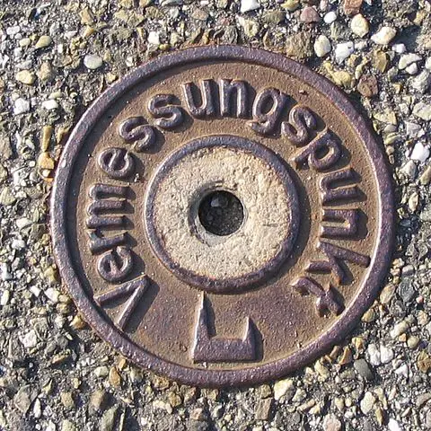
Much of topography is connected to land surveying. Surveying is when you record the location of an object in comparison to another object.
The first topographical surveys were carried out by the British military in the late 1700s. Topographical maps were improved as new inventions were created. These inventions allowed surveyors to create more accurate topographical maps.
Today most topographical maps are created using digital tools.
Techniques
Most topography work requires the use of direct surveying. This is when a surveyor manually measures the distance and angles between two points. If you have ever seen someone looking through an instrument on a tripod, then you have probably seen someone direct surveying.
Direct surveying is combined with aerial photography and satellite photos to create topographical maps.
In order to map the ocean floor, surveyors use sonar mapping. They send out a sound wave and measure how long it takes for the sound to echo back.
Interesting Facts
- A theodolite is a tool that measures horizontal and vertical angles
- Sonar mapping has been used to find shipwrecks on the ocean floor
- The “Topographical Bureau of the Army” completed the first topographical maps in the United States during the War of 1812